
#AutoTranslate
Brief Description
‘Taxi stands Switzerland’ is a new dataset in GeoJSON format with taxi stands in Switzerland. The dataset is generated from various open data sources, including OpenStreetMap and geodata exports from various cities and cantons.
Latest news
2026-10-13 corrected version of the data set with 288 taxi stands published, still as ‘Alpha’.
2026-10-06 first version of the dataset published as ‘Alpha’.
Access to data:
Including a preview of the data in a map visualization.
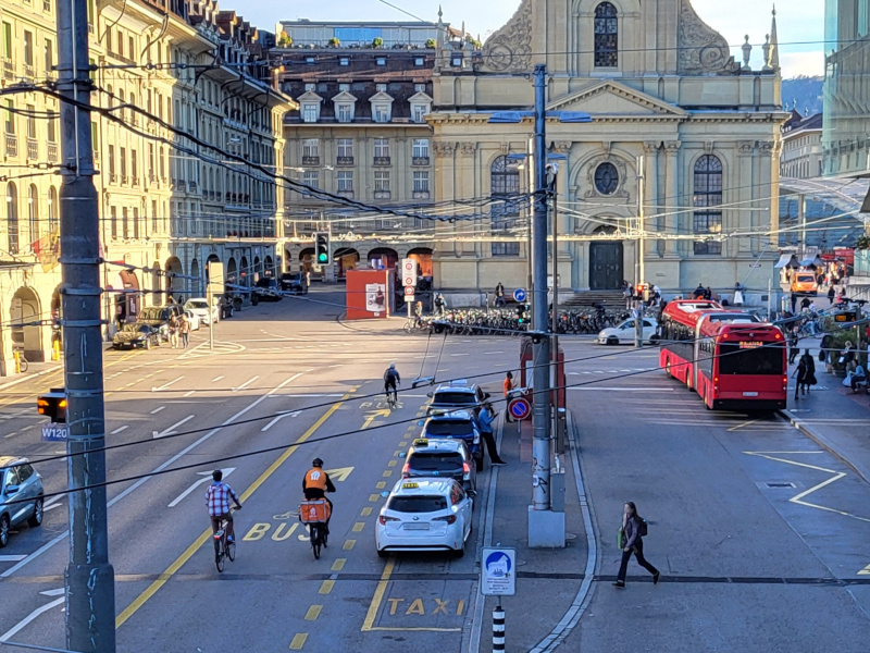
Taxi rank at Bern railway station, Switzerland. Source: Team opentransportdata.swiss.
Functional Description
Disclaimer – please note:
- This record is ‘Alpha‘ a prototype. Content, formats, provision and updating are subject to change or discontinuation at any time without notice.
- There is no guarantee that a taxi rank will be served at a particular time or that taxis will be available on site.
- The data set is provided without guarantee. The data may contain errors.
Taxi stands in Switzerland
Taxi stands are defined, introduced and operated in Switzerland according to different legal bases (cantonal or municipal laws and ordinances). Generally, local or regionally licensed taxi providers can wait for customers there with their taxis.
Possible use cases
In the context of mobility, data from taxi ranks is of interest in the following use cases:
- POIs: Taxi ranks as points of interest for display in mobility apps
- Travel planning: Travel planners can calculate a travel chain that includes a journey from the taxi rank as the last leg of the journey.
What does the record contain?
The dataset essentially provides the locations and capacity (number of seats) of the taxi stands. The dataset provides the following information for each taxi stand:
- Location (WGS 84 coordinates, longitude/latitude)
- Capacity: the number of seats.
- Name or description (in some cases with address, house number, etc.)
- comments, if any.
.
Technical Description
Format and structure of the data set
The files are in the GeoJSON format, i.e. as a JSON file and encoded in UTF-8. The GeoJSON standard is based on the GeoJSON standard (see https://de.wikipedia.org/wiki/GeoJSON). The data structure is a GeoJSON ‘FeatureCollection,’ which contains a list (array [ ]) of ‘Features’. Each taxi rank corresponds to a feature.
According to the GeoJSON standard, a feature contains the following keys:
- “id”: a technical ID.
- “geometry”: we use only points as geometry, i.e. ‘type’: ‘Point’ and ‘coordinates’ mt an array with the two WGS-84 coordinates longitude and latitude.
- “properties”: all other properties as key-value pairs.
Among the properties are worth mentioning (all optional):
- ‘#id’: Identifier that uniquely identifies a taxi rank in this record. Note: The ID of a taxi rank can change with each version, so it is not guaranteed for future versions.
- ‘source’: Note to the source of this entry.
- ‘last_update’: Date of the last update, usually the date of the last export from the given source.
- ‘name’: a name or place name, sometimes including a street address, house number, postcode and/or town/city. The name is useful for display purposes (user interface), but is not unique and unique.
- ‘capacity’: the number of spaces (parking spaces) for taxis available at this location.
- ‘notes’: any other information, notes, remarks.
- other properties with the prefix ‘__’: These are the original data fields or keys from the respective source.
Generation of the dataset
The data set is generated using a script. The sources are imported and the required data fields are derived from them. In a consolidation step, duplicate entries are also detected and eliminated; the data from one source are discarded.